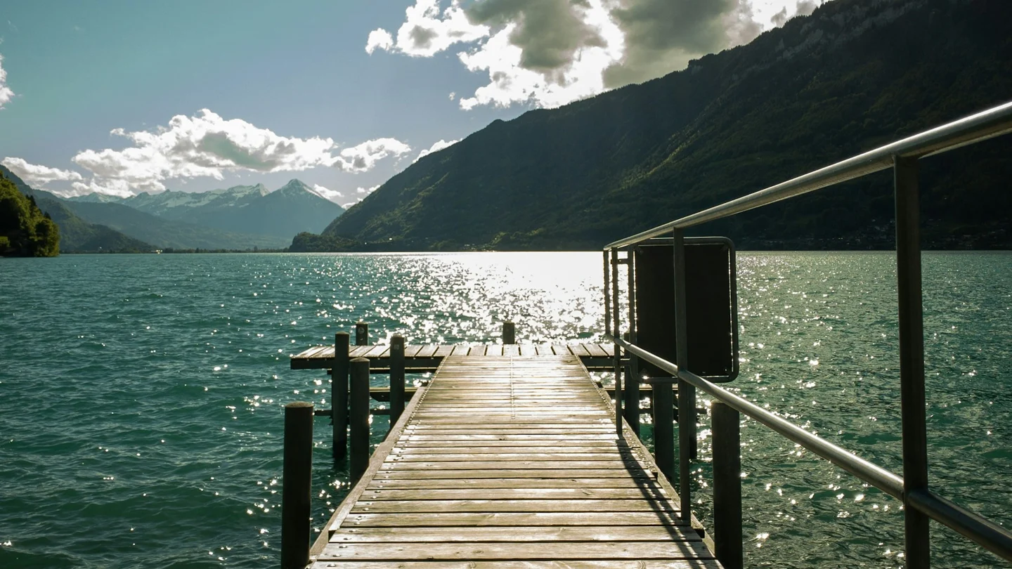
Wooden jetty and Lake Brienz at Iseltwald. Licensed stock photograph.
Uferweg Iseltwald is the lakeside walking route towards Giessbach Falls on the southern shore of Lake Brienz. It combines village access, woodland and water views with a waterfall visit at the end. Plan it as a one-way hike with a checked return, or allow for the full distance back if you intend to walk both ways.
Uferweg Iseltwald: choose the direction first
Starting in Iseltwald makes the village the opening part of the day and the falls the stop. You can reach the village by public bus or seasonal boat. A bus arrival gives you a way to begin without waiting for a lake sailing. A boat arrival adds scenery before the walk.
The other direction can also be considered. It changes the transport plan. Reaching Giessbach first may involve the lower boat landing and the approach to the waterfall area. Finishing in Iseltwald gives you a village bus option to check. Search both ends for your date before deciding which direction fits better.
The distances and timing in this guide refer to the named shore route, rather than every possible detour or viewpoint. Adding the village, a longer waterfall circuit or an uphill extension changes the total. Keep those optional parts separate when you estimate how much daylight and energy you need.
Finding the Uferweg Iseltwald shore route
The provider's description places the start of the gravel path beyond Iseltwald's lido area. Follow the local signs towards Giessbach and use a current map of the named route. Do not continue through a private garden or along an unmarked waterside track because it appears to point in the right direction.
The path moves through woodland and open sections with lake views. It is a trail, not a continuous paved promenade. The surface can change with rain and wear. Shoes with grip are a useful choice even when the forecast is dry.
If you have not walked much on uneven ground, take the first part slowly and assess how it feels. A short village walk remains a good other option. There is no need to complete the whole route simply because you arrived with it in mind.
Walking time and what the estimate leaves out
The provider gives 5.3 kilometres and one hour and thirty minutes as key figures. Its prose also describes reaching the lower falls after a more leisurely outing. The national waterfall guide gives a longer allowance for the walk-and-falls experience. These descriptions support adding time rather than using the shortest figure as a deadline.
Photographs, food, rest stops and a waterfall circuit all add to the base walking time. A slower group may need longer even before those extras. Work backwards from a return sailing with a generous margin, especially if it is the final useful boat of the day.
For an out-and-back walk, count the return distance as well. A route described as about five kilometres one way becomes a substantially longer outing when you walk back. The second leg can feel different after time on the waterfall paths. Keep enough daylight and food for it.
Is the route right for your group?
The boat provider labels the route easy. The national waterfall guide states that it is unsuitable for prams. Those two statements can coexist: a trail can be relatively easy for walkers while still having an uneven surface or access barriers. Do not use the difficulty label as proof of wheelchair or pushchair access.
Check the exact route if anyone needs a smooth path, has trouble with slopes or must avoid steps. The falls area adds a separate access question after the shore walk. A boat arriving nearby does not make every viewpoint above it step-free.
Children need close supervision near the lake and on narrow sections. Let the slowest comfortable pace shape the outing. A shorter route with a village pause can be a better day than a longer plan that leaves someone tired and worried about the return.
Stops beside the water
The provider describes a forest rest area along the route. Treat any facility as something to check on the day rather than a promise of water, food or usable equipment. Carry what you need for your own walk, including a snack and enough drinking water.
If you want to swim, use right marked access and the regional safety guidance. Lake Brienz can feel cold even in warm weather. Do not enter from an unfamiliar drop or move into a boat route to reach a photo. Resting by the water does not require swimming.
Keep the path clear while you stop. Put bags where other walkers can pass and take waste away. The lake and woodland setting are part of the appeal. They work best when the route remains usable for the next person.
Arriving at Giessbach Falls
The waterfalls are the final visitor focus. The route's end and the return pier are not the same as every upper viewpoint. The lower boat landing is called Giessbach See. Allow time to get there after visiting the falls.
The tourism board describes fourteen cascades with a total drop of about four hundred metres. Short paths give views of parts of that system, including a section behind falling water. Spray and wet ground can make the surface slippery. Follow local signs and do not go beyond a barrier for a closer view.
The funicular between the lower landing and upper visitor area is a separate service with its own operating pattern. Check it for your date if you intend to use it. A boat arriving at Giessbach does not prove that a connecting funicular runs at the same moment.
Check the boat home before setting out
Read the current Lake Brienz timetable for Giessbach See to your chosen stop. Brienz and Interlaken Ost lie in different directions. Check the stop, date and last departure before you leave Iseltwald, then keep that details available offline.
In its 2026 shore-walk offer, the provider lists the excursion period through 6 December, with a winter break from 7 December. The date-specific timetable still controls your exact sailing. A season label does not mean the same number of boats runs every day.
Do not assume a frequent public bus waits at the lower Giessbach pier. If the last boat is essential to your plan, choose an earlier target return with room for a delay. If no workable return exists, shorten the walk or choose an out-and-back plan you can comfortably complete.
A compact departure checklist
- Check the direction, current route notice and weather.
- Find the outward bus or boat and the exact walking start.
- Save the return sailing with its date, stop and direction.
- Add time for rest stops, the falls and the descent to the pier.
- Carry water, food, layers and footwear with grip.
- Choose a shorter route if the surface or weather do not suit the group.
For an overnight base, Iseltwald gives you the village start nearby. Brienz and Interlaken offer other travel benefits. Compare the exact morning and evening journeys. A stay's view is a separate feature from the ease of reaching the trail.
Choose a base for the shore-walk day
Sources and current details
Travel details checked 14 October 2026. These source links open only when selected; they are separate from booking recommendations.
Verdict: let the return shape the Uferweg Iseltwald day
Use Uferweg Iseltwald for a well-paced shore walk when the surface and distance suit your group. Check the route, allow more than the base walking estimate and keep the final descent in view. With a checked return, the falls can be a relaxed stop rather than the start of a transport problem.